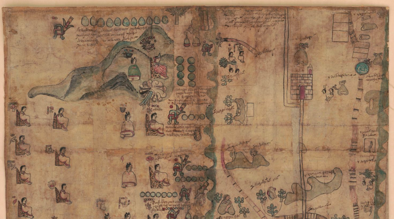
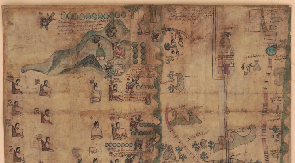
The United States Library of Congress recently added a 400-year-old piece of Mexican history to its online collection, one that helps further illustrate a key moment in the history of Mexico. The Codex Quetzalecatzin, a map made in 1593 by the indigenous Nahua peoples of Mexico around the time of first contact with the Spanish Empire, has been digitized for the library’s collection, and it can be viewed online here.
The codex–which also goes by the name Mapa de Ecatepec-Huitziltepec–shows the geographical lineage of Quetzalecatzin’s lineage; the de Leon family was descended from the Mexican political ruler of the late 15th century, and the map traces land ownership under the control of the family.
As Live Science notes, the map also appears to show regions of present-day Mexico City: “[The map] features the church of Todos Santos in modern-day Mexico City suburb of Ecatepec, the now-drained Lake Texcoco and the Atoyac River.”
While the map has a plethora of hieroglyphics that date back to the pre-Hispanic era of the region, there do seem to be concessions to Spanish culture in the map, as pointed out by the library’s statement of acquisition. For example, there appear to be names that have the title “don” in front of them (such as “don Matheo”), which comes from the Spanish culture; the names themselves also point to baptisms under new, Christian names. There also appear to be churches on the map, which point to Spanish colonization in post-Cortés Mexico.
Speaking about the importance of the document, John Hessler, the curator of the early Americas collection at the Library, said that the “codex shows graphically the kinds of cultural interactions taking place at an important moment in American history. In a sense, we see the birth of what would be the start of what we would come to know as the Americas.”
The Library of Congress acquired the codex from the France collection of Charles Ratton and Guy Ladriere; it had previously been in the possession of various British collectors, dating back to the 1800s. The history of the map between the creation in the 16th century and its reemergence three hundred years laters is currently unaccounted for.


