This Argentine Artist Turned Google Earth Images Into Psychedelic Works of Art

Photo: Federico Winer
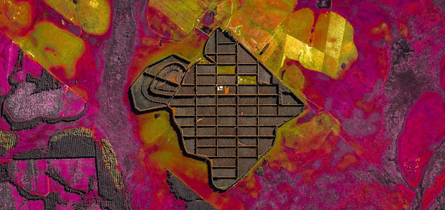
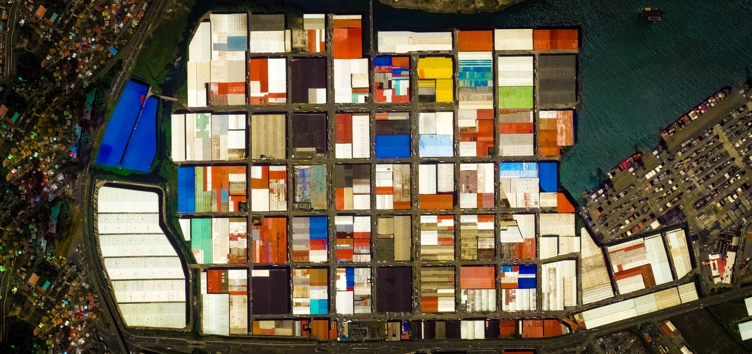
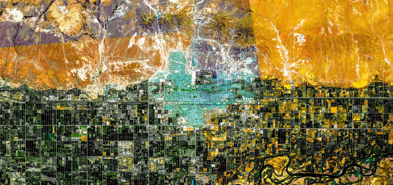
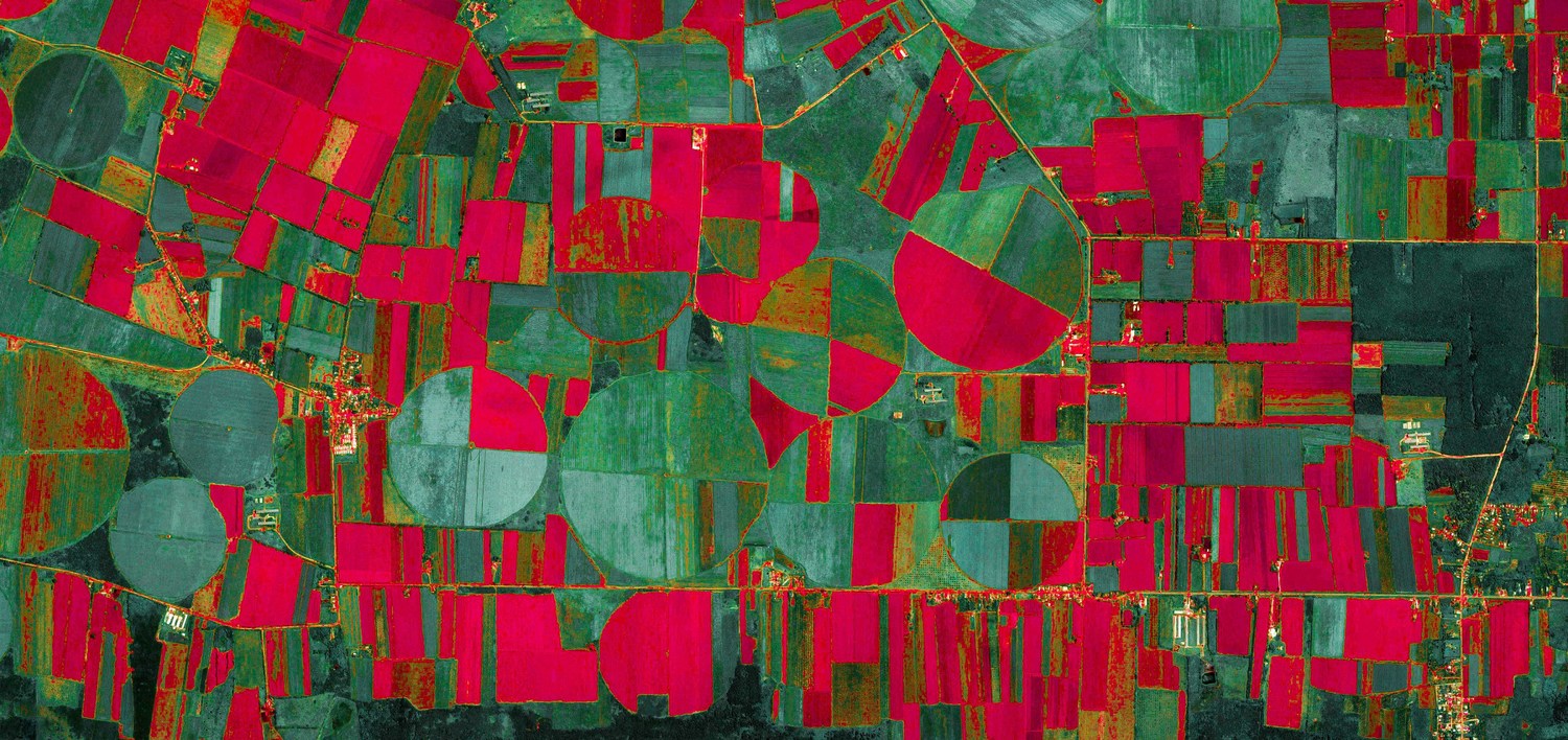
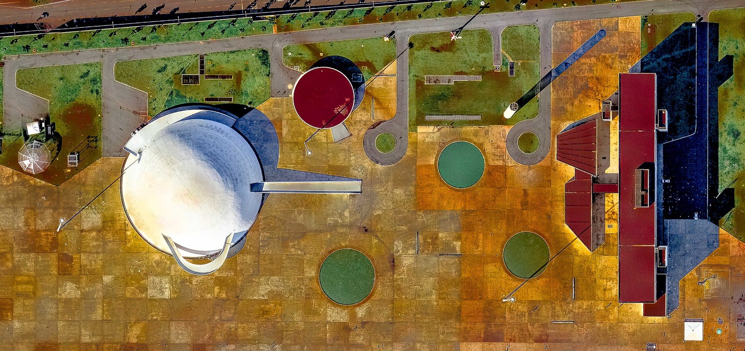
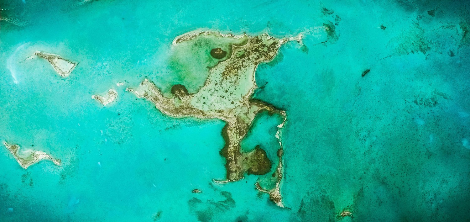
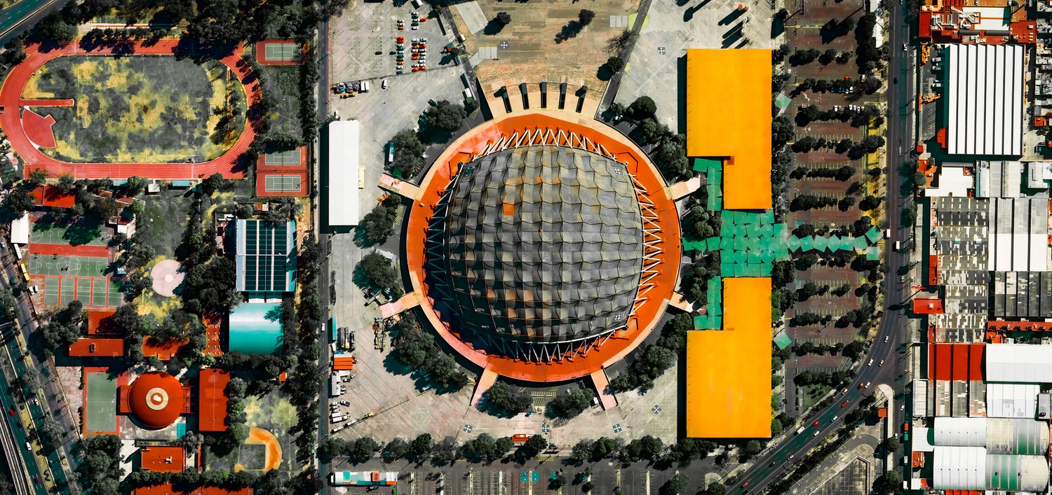
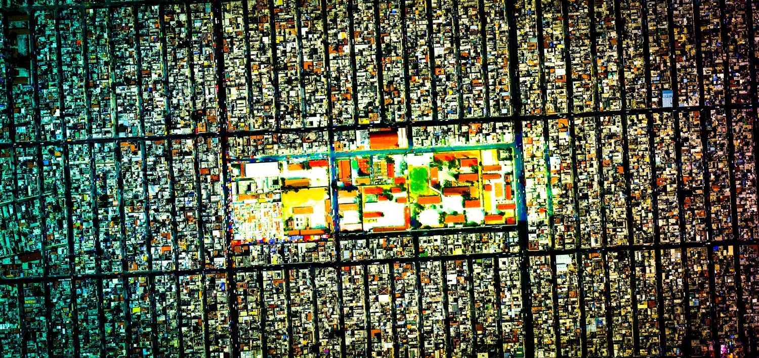
While Google Earth is legit one of the most interesting ways to kill some time on the internet, Argentine artist Federico Winer couldn’t stop thinking about maps when he opened up the tool. “From Babylonian clay tablets to the amazing Google Earth, maps are the way we deal with the distances in our world,” Winer’s website states. “Maps are ways of seeing, interpreting, and reading the world. Watching a map is like watching a picture – a way to start traveling.” That’s when he started his Ultradistancia project – where he turns these satellite images into psychedelic works of art.
Through Google Earth and his imagination, he transforms aerial shots of lakes, parks, airports, roads, and mountains into colorful pieces with a kaleidoscopic effect. Winer has taken images across different continents and monuments. He’s even transformed land masses into monsters, and they’re all worth checking out. But in the meantime, look at what he’s done with Latin American images below:
